K4 – K5Today -7° · overcast, some snow showersJune – 27 Oct
Duration
6 h 40 min
Ascent
+1'037 m
Descent −1'037 m
Length
7.2 km
Highest point
2'817 m a.s.l.
Approach1 h 30 min
Season
J
F
M
A
M
J
J
A
S
O
N
D
June – 27 Oct
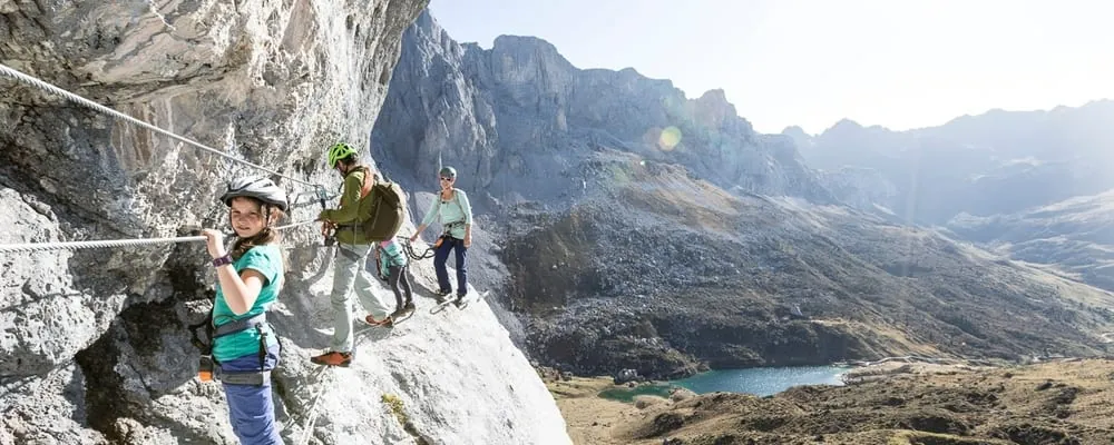
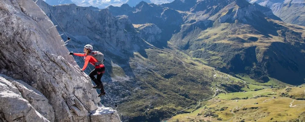
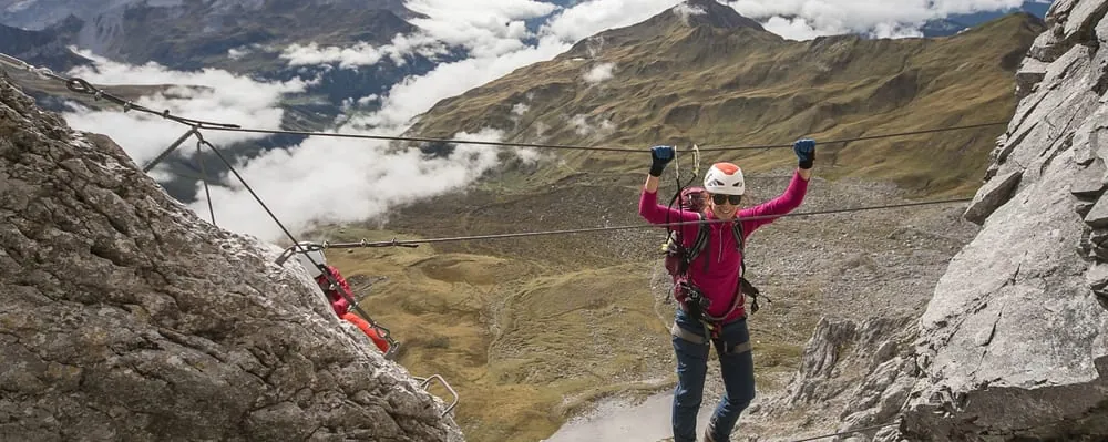
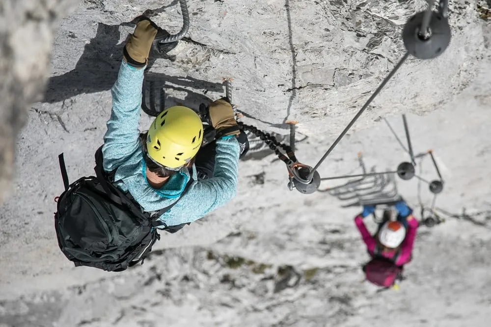
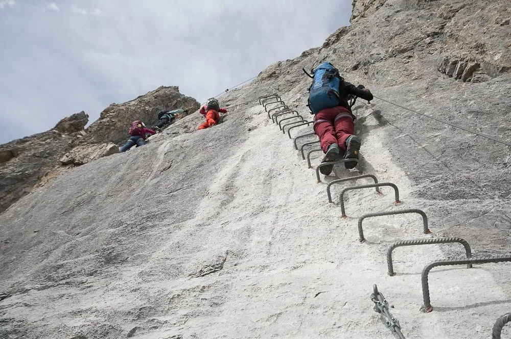
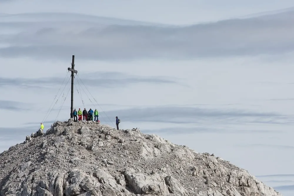
The classic Sulzfluh via ferrata is a long, alpine line that climbs the south face above St. Antönien all the way to the 2,817-metre summit. It is a serious mountain outing rather than a short sport route: expect plenty of rock contact, sustained effort, and a few steeper sections that demand good arms and sure footing. The approach is on marked trails and can be shortened with the Bus alpin to Berghaus Alpenrösli. The descent follows marked mountain paths, so a full day should be planned.
 St. Antönien, Partnun AlpenrösliBuson the route

 Today -7° · overcast, some snow showersJune – 27 Oct
 -7°
 -7°
 -7°
 -7°
 -10°
 -6°
 -5°
 -7°
 Berghaus Alpenrösli1'776 m a.s.l.21 m away