Graubünden / Scuol
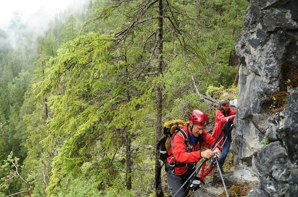
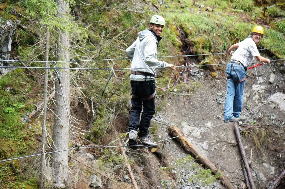
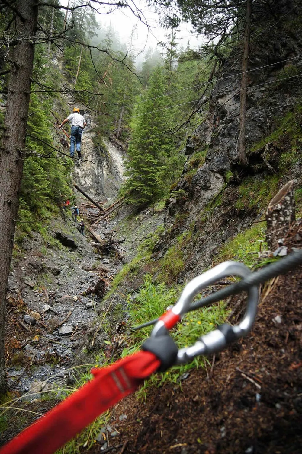
Puntins Ots Uina K1 – K2 The Puntins Ots Uina adventure and culture trail follows old mule tracks through the Val d'Uina and mixes hiking with short via ferrata-style sections. It is a steep, partly exposed round tour with a clear historical theme, so the route feels as much like a journey through local stories as a mountain outing. The path starts from Sur En on the forest road towards Uina Dadaint and returns via Val Glatschera and Val Torta. A via ferrata set is required for the rope bridges.
Weather Sent · 1'433 m a.s.l. · 3571 m away Today 5° 0 mm Tomorrow 4° 0 mm Sun 22 0° 1.2 mm Mon 23 1° 0 mm Tue 24 -1° 0 mm Wed 25 1° 0 mm Thu 26 2° 0 mm Fri 27 1° 0 mm Sat 28 1° 0 mm 10:00
2° partly sunny, thick passing clouds
12:00
3° partly sunny, thick passing clouds
14:00
5° mostly sunny, some clouds
16:00
4° partly sunny, thick passing clouds
10:00
2° overcast and dry
12:00
3° overcast and dry
14:00
4° partly sunny, thick passing clouds
16:00
3° partly sunny, thick passing clouds
10:00
-1° very cloudy, light snow showers
12:00
0° very cloudy, intermittent snow
14:00
0° very cloudy, light snow showers
16:00
0° very cloudy, intermittent snow
10:00
0° overcast and dry
12:00
1° overcast and dry
14:00
1° overcast and dry
16:00
0° overcast and dry
10:00
-3° sunny
12:00
-1° sunny
14:00
-1° sunny
16:00
-1° sunny
10:00
-2° overcast and dry
12:00
0° overcast and dry
14:00
1° overcast and dry
16:00
1° overcast and dry
10:00
0° overcast and dry
12:00
1° partly sunny, thick passing clouds
14:00
2° partly sunny, thick passing clouds
16:00
1° partly sunny, thick passing clouds
10:00
-1° partly sunny, thick passing clouds
12:00
1° partly sunny, thick passing clouds
14:00
1° partly sunny, thick passing clouds
16:00
0° partly sunny, thick passing clouds
10:00
-2° partly sunny, thick passing clouds
12:00
0° partly sunny, thick passing clouds
14:00
1° mostly sunny, some clouds
16:00
1° mostly sunny, some clouds
Forecast issued 20.11, 20:00 · Source: MeteoSwiss
Nearby Public transport Sent, Sur EnBus on the route Sent, Sur En CampingBus 299 m away Rental Marco Sport Equipment rental available upon request. Stradun 315a, 7550 Scuol 5145 m away  Sent, Sur EnBuson the route

 2°
 5°
 2°
 -1°
 0°
 -3°
 Marco SportEquipment rental available upon request.Stradun 315a, 7550 Scuol5145 m away