Public transport
Departing from
 Wimmis, BahnhofBuson the route
- Wimmis, BrodhüsiBuson the route
 WimmisTrain16 m away
- Wimmis, BachteleBus135 m away
- Wimmis, DorfBus207 m away

 Today 9° · sunny intervals, isolated showers
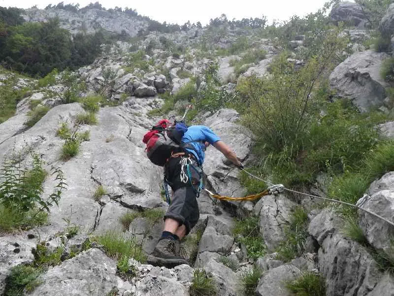
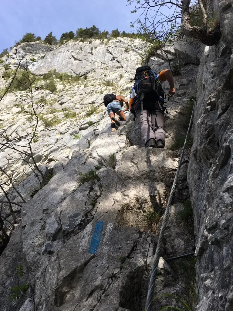
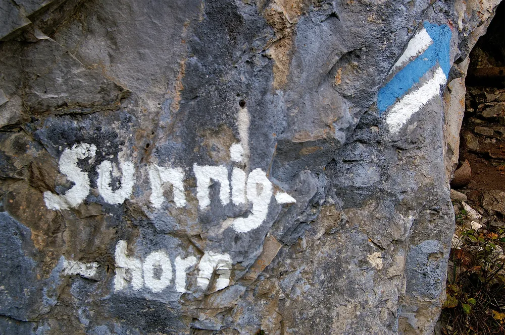
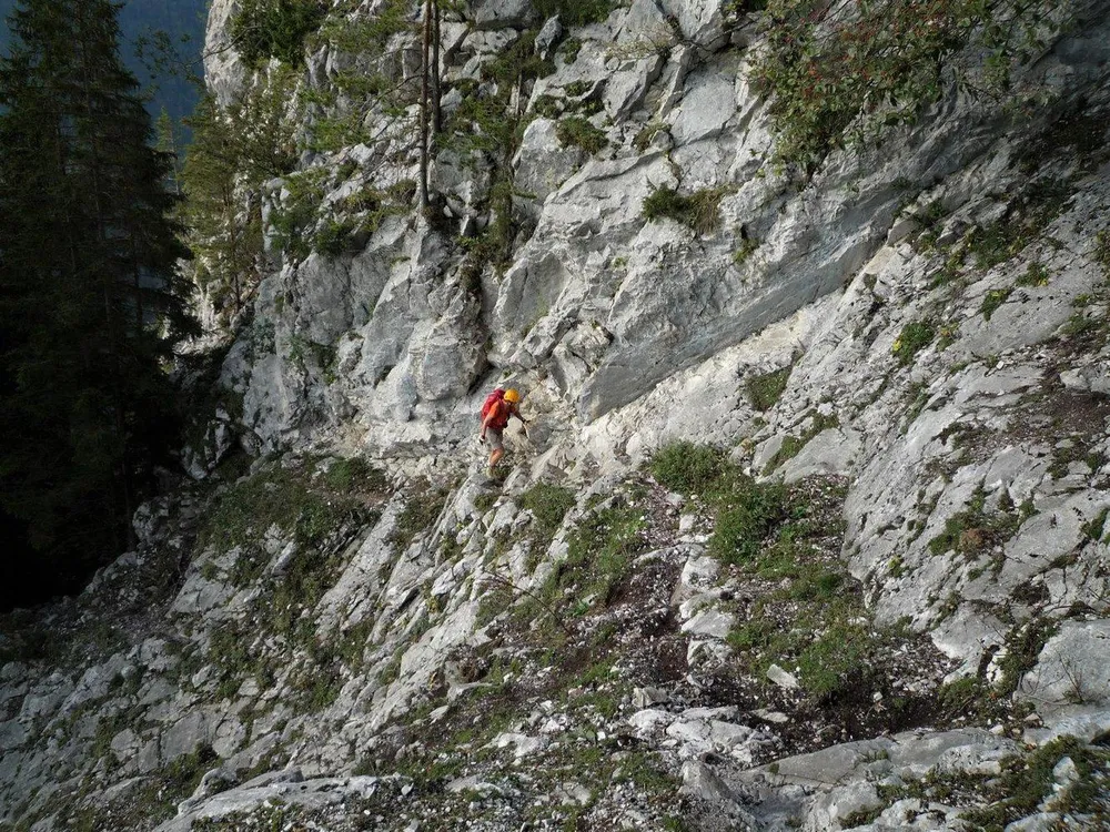
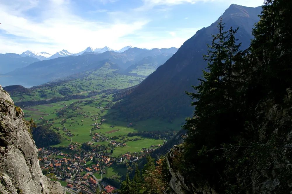
The summit is the Sunnighorn, on the eastern end of the Simmeflue above Wimmis in the Bernese Oberland. The SAC rates the ascent from Wimmis via the Simmeflue-Steig T4+. What makes it interesting is the terrain. You climb through forest towards the foot of the huge limestone wall and then follow a clever line through rocky steps, ledges and gullies. Some exposed passages have fixed steel cables, but there are also substantial sections where you are simply scrambling or hiking on steep alpine terrain. A helmet is strongly advisable because of the rocky terrain and potential rockfall. Whether to bring a via ferrata set is a matter of judgement; if you are less experienced with exposed scrambling, take it rather than leave it at home.
7° 9°
 9°8°8°
 9°9°8°
 5°
 5°5°5°
 5°6°6°5°
 2°3°4°4°
 3°4°4°4°4°5°
 5°4°3°3°4°3°4°5°5°5°
Forecast issued 20.11, 17:00 · Source: MeteoSwiss
Departing from
Wimmis, BahnhofBuson the routeWimmis, BrodhüsiBuson the routeWimmisTrain16 m awayWimmis, BachteleBus135 m awayWimmis, DorfBus207 m away P+Rail WimmisPublic parking23 m awayPublic parking63 m awayPublic parking160 m away