Upper Valais / Baltschieder

Via Ferrata Baltschieder

K4 – K5Today -5° · sunny intervals, scattered snow showers
Duration
8 h
Ascent
+1'497 m
Descent −1'497 m
Length
14.4 km
Highest point
2'485 m a.s.l.
Approach2 h 45 min
Via ferrata2 h 45 min
Return2 h 30 min

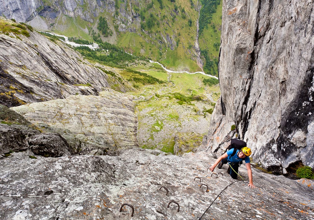
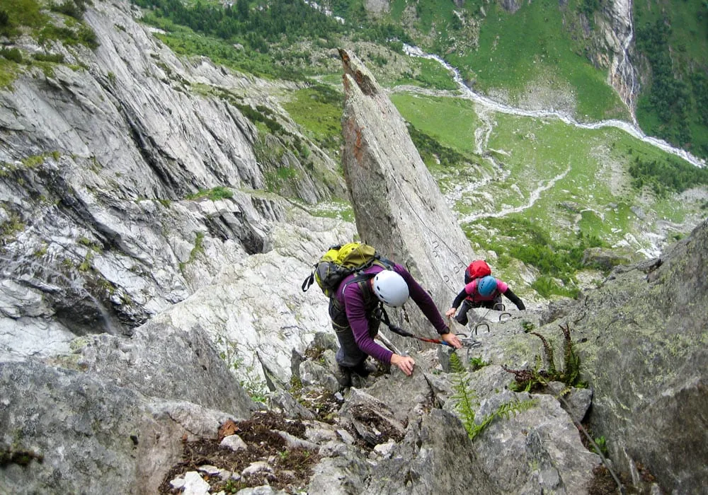
The Baltschieder via ferrata is a long, demanding hut approach rather than a quick adrenaline outing. From Ausserberg, the route first follows historic water channels into the Baltschieder valley before turning onto the fixed ropes. The opening section is steep and athletic, then the line eases somewhat before building again towards the final slabs and the approach to Wiwannihütte. With its exposed passages, big height gain and alpine character, it suits well-trained mountain walkers. In early summer, snow can linger near the exit, and the route is best enjoyed in stable, dry weather.

Weather

Stockhornbiwak SAC · 2'598 m a.s.l. · 3303 m away

10:00
-6°
very cloudy, intermittent snow
0.8 mm · 100 %
8 km/h · gusts 22 km/h
0° 1'552 m a.s.l.
12:00
-5°
sunny intervals, scattered snow showers
0.2 mm · 100 %
9 km/h · gusts 20 km/h
0° 1'593 m a.s.l.
14:00
-5°
sunny intervals, snow showers
0 mm · 100 %
9 km/h · gusts 23 km/h
0° 1'659 m a.s.l.
16:00
-6°
sunny intervals, snow showers
0.1 mm · 100 %
12 km/h · gusts 29 km/h
0° 1'611 m a.s.l.

Forecast issued 20.11, 20:00 · Source: MeteoSwiss

Nearby

Public transport

Departing from

  • Ausserberg, DorfBuson the route
  • Ausserberg, DisternBus237 m away

Inns

  • Wiwannihütte2'461 m a.s.l.12 m away

Links

Was this page helpful?