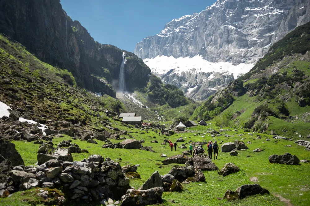
Approach 2 h 45 min
Via ferrata 2 h 15 min
Return 3 h
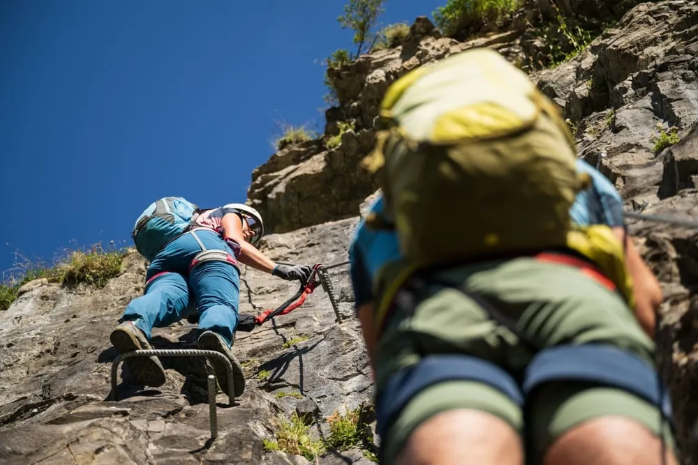
The Bälmetentor via ferrata offers a varied alternative to the demanding Schwarz Grat hiking route on the north ridge of the Bälmeten. It is a relatively long outing, with a total time of around six hours and about 330 metres of climbing, so it feels more like a full mountain day than a short sporty detour.
With a north-west facing aspect and a difficulty of K4/T3, the route calls for sure-footedness and a calm head on exposed ground. It suits experienced via ferrata users who want a scenic, sustained outing rather than a purely athletic climb.
Weather Leutschachhütte SAC · 2'208 m a.s.l. · 8307 m away Today -2° 2.4 mm Tomorrow -2° 0.8 mm Sun 22 -1° 9.2 mm Mon 23 -4° 5.5 mm Tue 24 -2° 0 mm Wed 25 -2° 0 mm Thu 26 -3° 0 mm Fri 27 -4° 0 mm Sat 28 -3° 0 mm 10:00
-3° very cloudy, intermittent snow
12:00
-2° overcast, some snow showers
14:00
-2° sunny intervals, scattered snow showers
16:00
-3° very cloudy, light snow showers
10:00
-2° very cloudy, intermittent snow
12:00
-2° sunny intervals, snow showers
14:00
-2° partly sunny, thick passing clouds
16:00
-3° partly sunny, thick passing clouds
10:00
-2° very cloudy, intermittent snow
12:00
-1° very cloudy, intermittent snow
14:00
-1° very overcast with heavy snow
16:00
-2° very overcast with heavy snow
10:00
-4° very cloudy, intermittent snow
12:00
-4° very cloudy, intermittent snow
14:00
-4° very cloudy, intermittent snow
16:00
-4° very cloudy, intermittent snow
10:00
-4° sunny
12:00
-3° sunny
14:00
-2° mostly sunny, some clouds
16:00
-2° partly sunny, thick passing clouds
10:00
-2° overcast and dry
12:00
-2° overcast and dry
14:00
-2° overcast and dry
16:00
-4° very cloudy, light snow showers
10:00
-4° overcast and dry
12:00
-3° overcast and dry
14:00
-3° very cloudy
16:00
-4° overcast and dry
10:00
-5° partly sunny, thick passing clouds
12:00
-4° partly sunny, thick passing clouds
14:00
-4° partly sunny, thick passing clouds
16:00
-5° partly sunny, thick passing clouds
10:00
-5° partly sunny, thick passing clouds
12:00
-4° partly sunny, thick passing clouds
14:00
-3° partly sunny, thick passing clouds
16:00
-4° partly sunny, thick passing clouds
Forecast issued 20.11, 20:00 · Source: MeteoSwiss
Nearby Public transport Erstfeld, Reformierte KircheBus on the route Erstfeld, UnterdorfBus 135 m away Erstfeld, BirtschenBus 236 m away Parking P+Rail ErstfeldPublic parking 249 m away  Erstfeld, Reformierte KircheBuson the route

 -3°
 -2°
 -2°
 -3°
 -2°
 -2°
 -1°
 -4°
 -2°
 -2°
 -3°
 P+Rail ErstfeldPublic parking249 m away