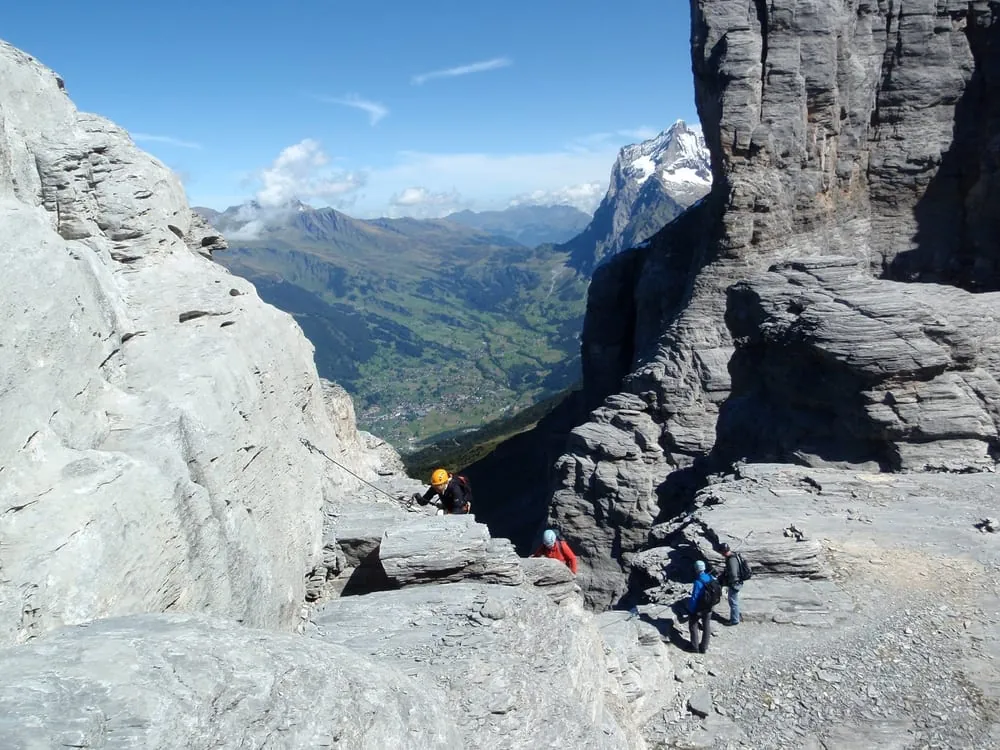
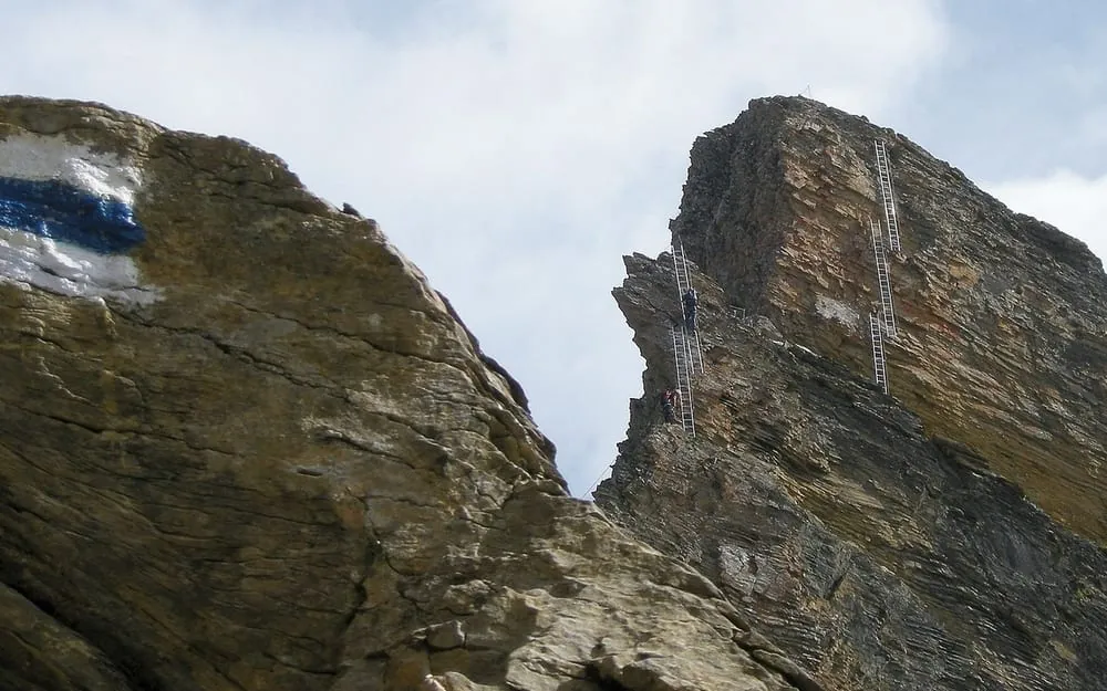
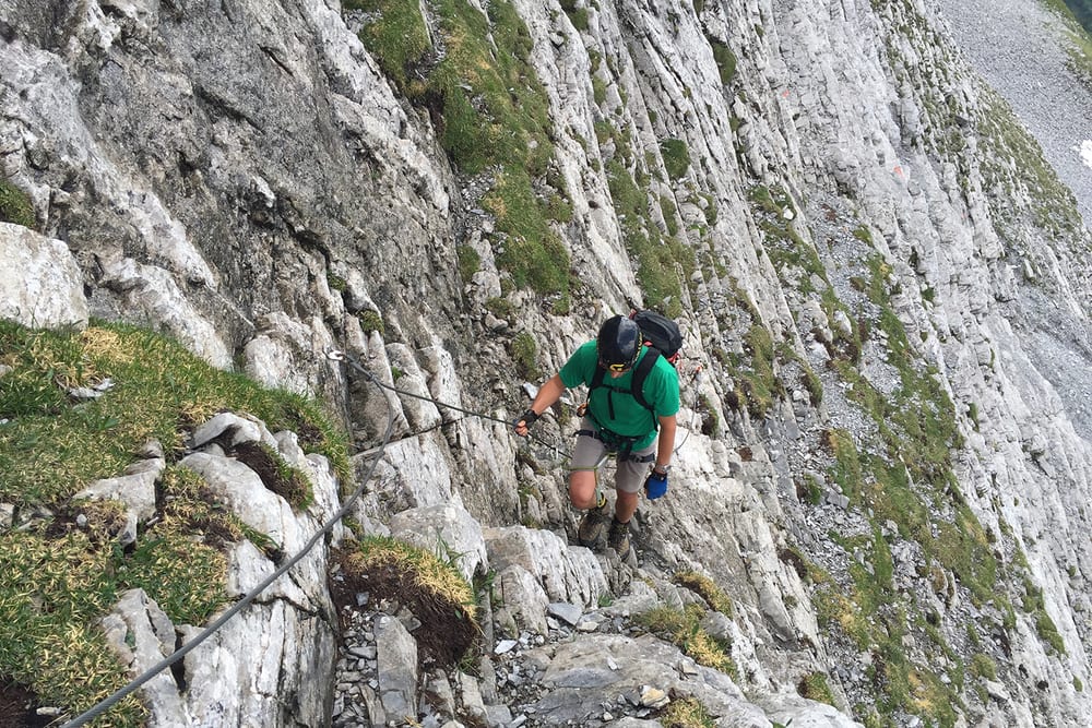
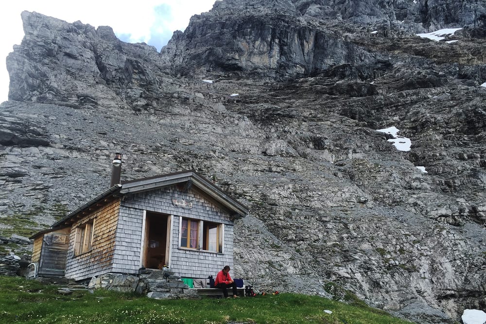
The Eiger-Ostegg via ferrata is a short but serious mountain route that leads from Alpiglen up to the Ostegghütte below the Eiger. It is rated K4 and, despite the modest height gain, it demands surefootedness, strength and good alpine experience. The approach starts on a normal trail and quickly becomes narrower, steeper and more exposed, with secured passages and rocky traverses. The route offers striking views into the Eiger landscape and over Grindelwald, but it is not a relaxed hiking outing.
Plan for around 1 hour 15 minutes on the ferrata itself, plus the approach. Because the terrain is exposed and alpine in character, the route is best attempted in stable conditions with proper via ferrata equipment and a helmet.
 AlpiglenTrainon the route

 Today -3° · sunny intervals, snow showers
 -4°
 -4°
 -4°
 -3°
 -3°
 -3°
 -1°
 -1°
 -1°
 Berghaus Alpiglen1'616 m a.s.l.11 m away