Public transport
Departing from
 EigergletscherLift stationon the route
 EigergletscherTrainon the route
- EigergletscherLift station30 m away

Bernese Oberland / Grindelwald
 Today -7° · sunny intervals, scattered snow showers
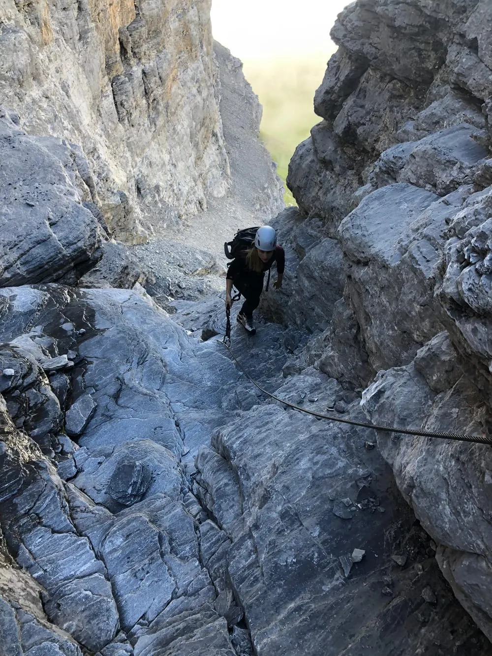
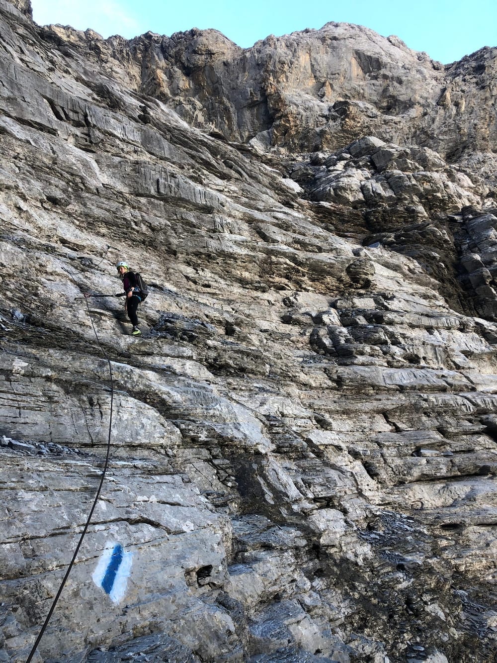
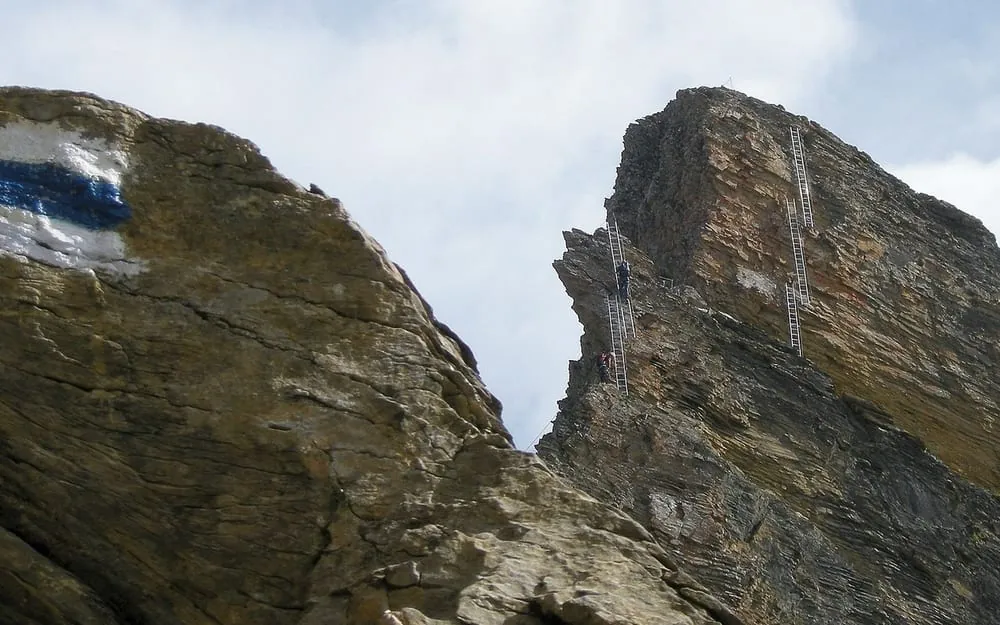
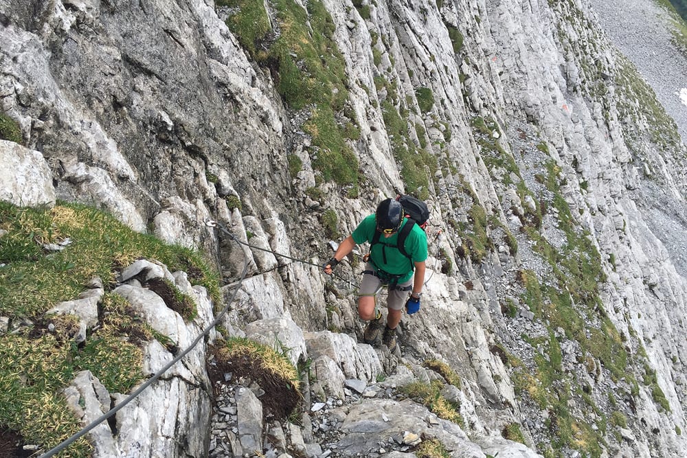
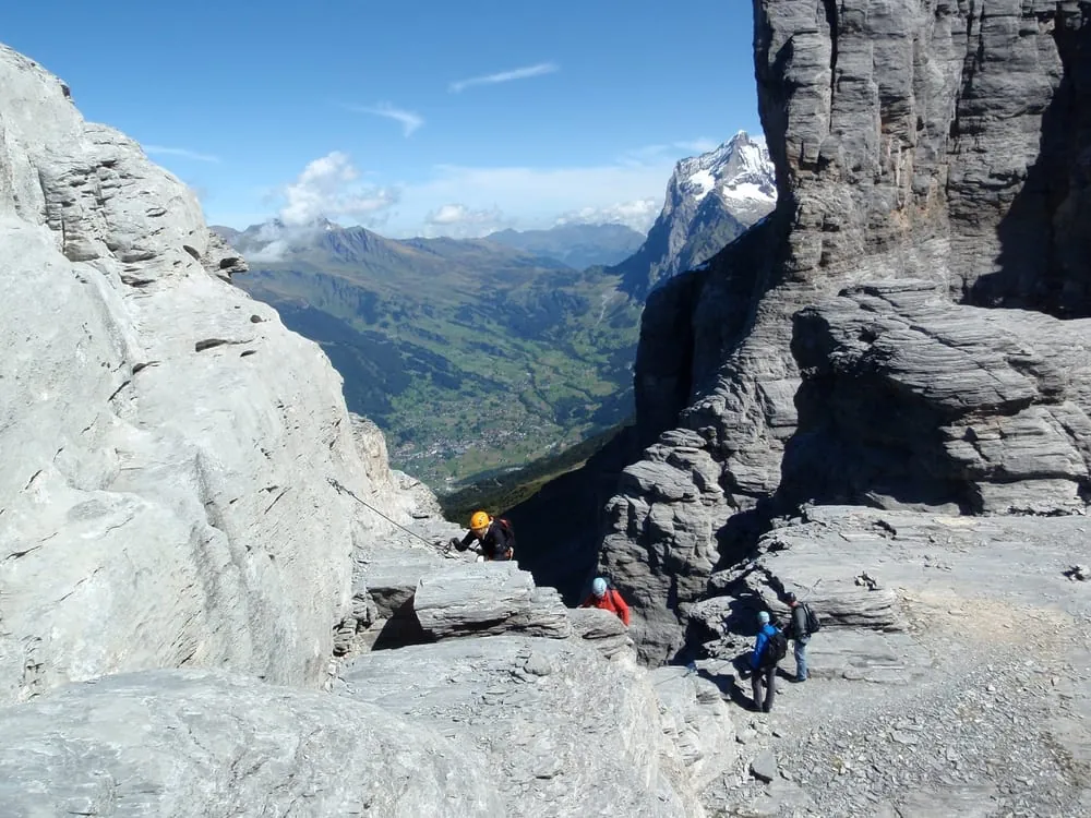
The Eiger-Rotstock via ferrata is a short but atmospheric line on the edge of the Eiger North Face. It mixes modern protection with an older mountain path, so the route feels varied rather than purely athletic. The crux comes right at the start, and the descent on slabby terrain can also ask for care, especially when the rock is wet or glazed with snow. Rockfall is possible in the Eiger area, so stable weather and surefootedness matter more than brute strength. From the approach on the Eiger Trail, the route climbs in about 1¼ hours, with the whole outing taking roughly 2¾ hours. It is best suited to experienced via ferrata climbers and confident mountain hikers with a head for heights with the right equipment.
 -8°-7°
 -7°-7°-8°
 -7°
 -6°-6°
 -3°
 -3°-4°-5°-8°-8°-8°-8°-7°-6°-6°-5°
 -5°-4°-5°-7°
 -7°-7°-7°-8°-8°-7°-7°-8°-8°-7°-7°-7°
Forecast issued 20.11, 20:00 · Source: MeteoSwiss
Departing from
EigergletscherLift stationon the routeEigergletscherTrainon the routeEigergletscherLift station30 m away Restaurant Eigergletscher2'319 m a.s.l.10 m away