Public transport
 PlattjenLift stationon the route
- Saas-Fee Mast 4Lift stationon the route
- Saas-Fee Mast 4Lift station28 m away

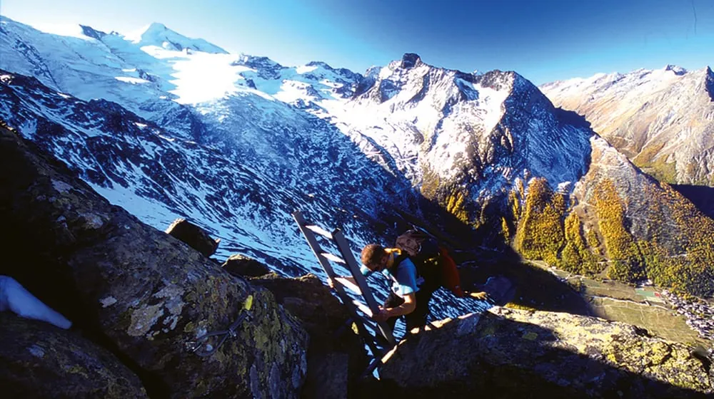
The Mittaghorn via ferrata is a high alpine ridge route that climbs to the summit of Mittaghorn above Saas-Fee. It is described as panoramic and, despite the exposed setting, suitable for experienced beginners looking for a long but straightforward mountain day. The route starts after an approach from the Morenia area and follows the northwest ridge over rocky terrain to the summit cross, with wide views toward the Saas and Rhône valleys and the surrounding four-thousand-metre peaks. The descent is longer and needs steady route-finding, especially in the steep east-facing section.
 0°
0° 0°
0° 0°-1°
0°-1° 1°
1° 2°
2° 3°3°
3°3° -2°-1°0°0°
 -2°-2°-1°
 -1°-2°-1°0°1°2°3°4°4°2°4°5°4°1°2°3°3°-1°0°0°0°
Forecast issued 08.10, 16:00 · Source: MeteoSwiss
PlattjenLift stationon the routeSaas-Fee Mast 4Lift stationon the routeSaas-Fee Mast 4Lift station28 m away Bergrestaurant Plattjen Terminus2'568 m a.s.l.13 m away